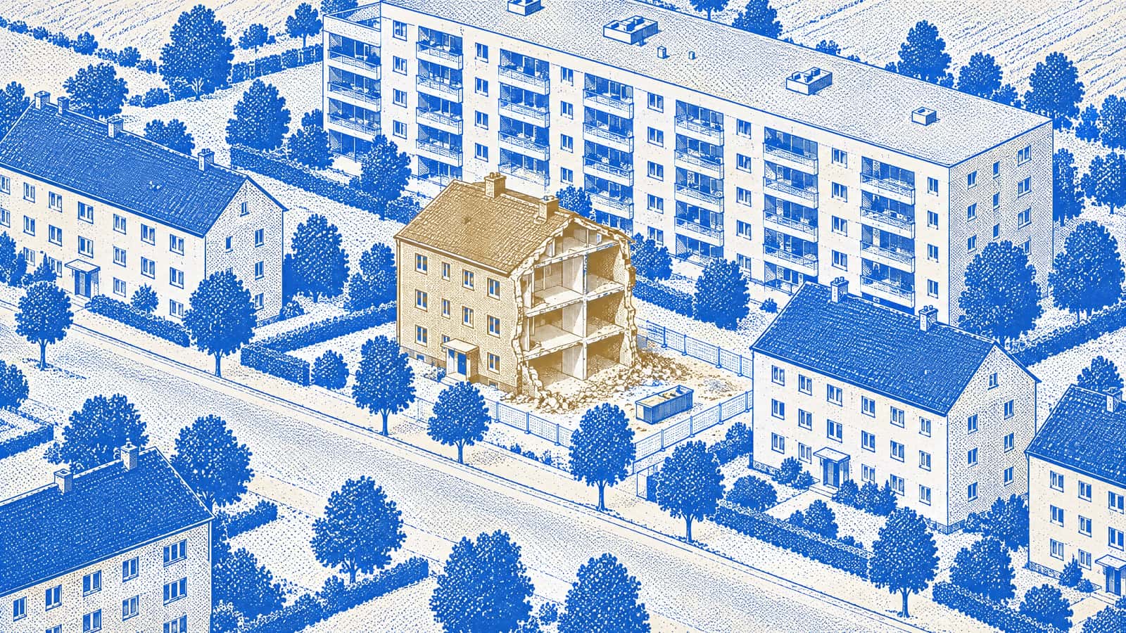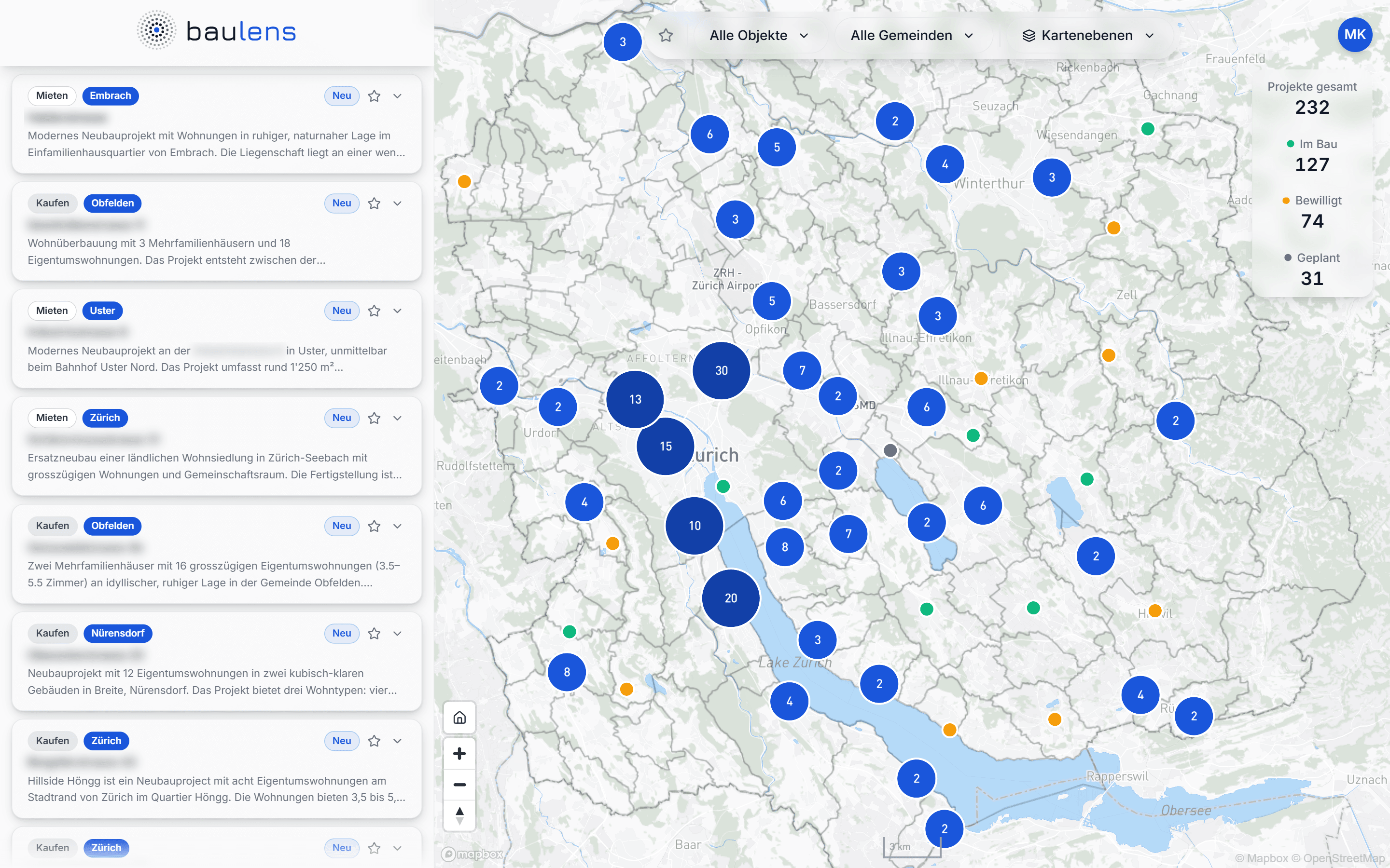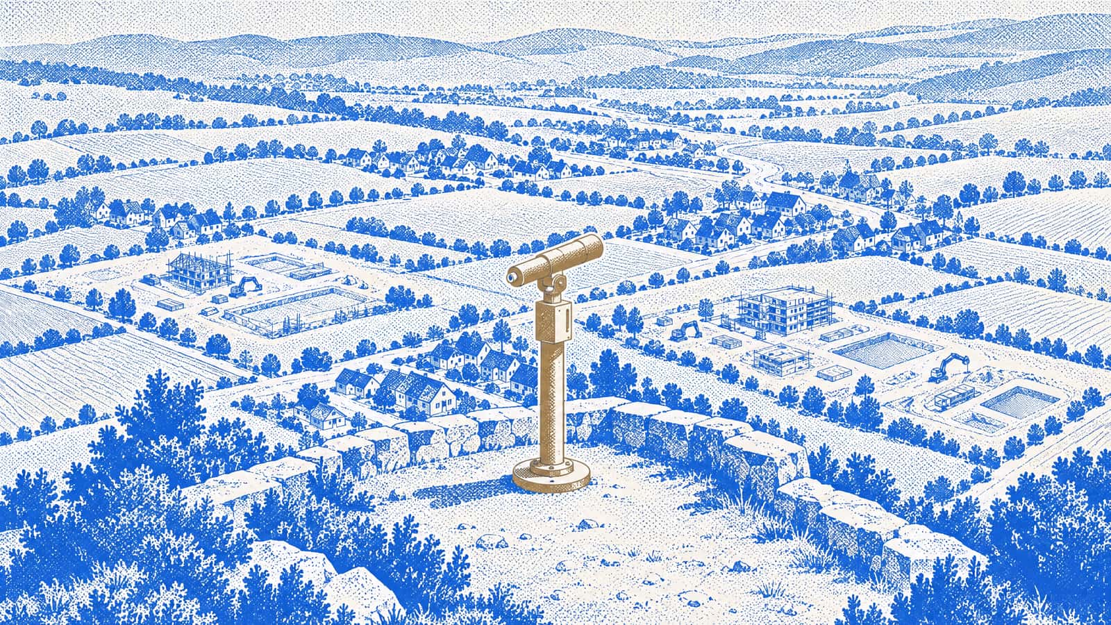
Baulens is a map of new-build projects in Canton Zurich: planned, approved or under construction. Every entry leads straight to the project website, and official data on the location comes with it. The idea comes from my own search for a home. In this post I explain how Baulens came about, what it's meant to do and where it's heading.
How the idea came about
When I was looking for a home myself, I kept a specific eye out for new-build projects. Where they were listed at all, they were scattered across various real estate portals. Outside the town I lived in, I came across construction sites with signboards announcing new residential buildings. Online, though, I could hardly find the same projects, and over time I lost track of them.
There was a second gap: for projects further afield, I could hardly judge the location. The project websites didn't help much, because they naturally focus on the advantages.
What Baulens sets out to do
Anyone moving into a new apartment or house often commits for years. That makes it all the more important to know the options and to be able to judge the location before the decision is made.
With Baulens, I want to close both gaps: the missing overview and the missing way to judge the location. On one map you see the new-build projects in Canton Zurich, as complete and as early as possible. From there you go straight to the project website, where you can register. On top of that comes official data on the site, so the location can be judged from a distance too.
What Baulens shows
Baulens specializes in new-build projects. My goal is to add every project as early as possible once its marketing has started. That way you can register early for the projects that interest you.
For every location there are sixteen map layers from official sources, from the building zone to noise exposure to public transport quality. For every municipality in Canton Zurich there are nine indicators as long-running time series, such as the tax rate (Steuerfuss) or the vacancy rate.
Instead of jumping between a real estate portal, a GIS viewer, a noise map, a tax rate table, the statistical office, Google Maps and the project website, you see it all on one map.
What Baulens is not
Baulens is purely an information platform. I am expressly not a real estate agent, a developer or a seller.
Baulens also shows no images of the projects. Renderings and floor plans belong to the developers and are on their websites, complete and up to date. That's deliberate: Baulens is your signpost to the original source, not an image gallery.
I drew two limits on purpose. First, Baulens only covers Canton Zurich. Second, the map only shows projects with their own project website, because that's where every entry leads.
What's next
Baulens is self-funded and runs on subscriptions you can cancel at any time. There's a reason for that: once you've found your home, you don't need the map anymore. A good subscription therefore ends with a purchase or rental agreement.
I want to keep expanding the platform, with new features and better performance. Partnerships that broaden the offering are also planned. In the long run, nobody in Canton Zurich should have to rely on a construction signboard to find out about a new-build project.
This post also launches the Baulens blog. Every week, the blog puts news from the housing market in context and explains individual features of the map in more detail, for example the map layers. In a series, it follows the build-up of the company. I'll record there how things progress along the way.